For reasons that must remain a secret for the time being, I switched back to the Commander and took of from Dalton en route to Bolivar, Tennessee. It's 245 nautical miles, mostly west (which means mostly into a headwind). I climbed up to 6500 feet but after a while, over north-east Alabama, the ceiling dropped and I was skimming the bottoms of the clouds. In VFR (visual flight rules), you're supposed to stay at least 500 feet below the clouds. I opted to drop down to 4500 feet (remembering that 5500 would put me at the same altitude as west-to-east traffic), but then the ground fogged or hazed over. Plus, in that part of Alabama, there are ridges at 2000 feet and some of them have radio towers on them, so I was a bit nervous for a while.
Then the weather cleared up and I was able to climb back to my original planned cruising altitude. Later, over Tennessee, I got this image of Pickwick Lake, which sits at the intersection of Alabama, Mississippi and Tennessee:
 Later on, I found my airport, Whitehurst Field, just south of Bolivar. The runway is just over 5000' and 75' wide, but on approach I noticed that there are fairly tall trees at the end of runway 19:
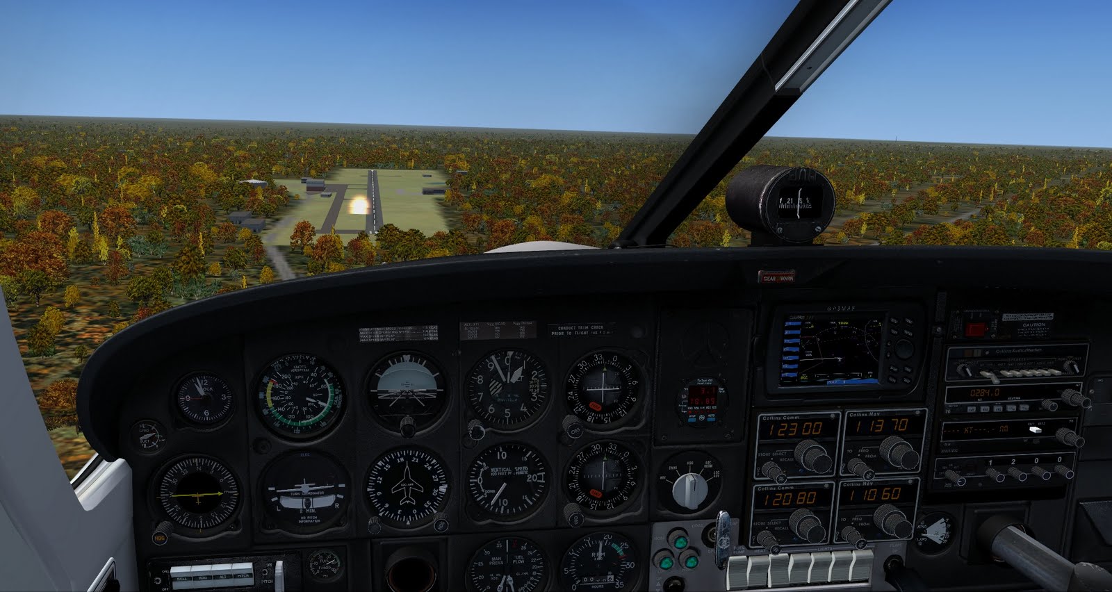 (click to enlarge)
I probably could have gotten lower, or perhaps should have aborted to do a fly-over and check it out before actually landing, but given the runway length I just kept plenty high until I cleared the trees. That put me a lot higher than normal over the runway threshold:
 You can see from the shadow of my plane that I'm a lot higher than normal at this point in the landing. I also flared a bit much as I got closer (I was descending pretty rapidly and was worried about coming in too hot on the landing hear). That caused me to climb slightly and use up even more runway, but ultimately I got her down nice and easy and on the center-line:
 I did overshoot the taxi-ways, but still had plenty of runway to stop, I just had to turn around and taxi back down the runway itself until I could pull off and park.
I'll explain why I'm in Bolivar, Tennesee in a later post.

